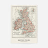
A cartographic map of the British Isles published in 1900
- Regular Price
- £12.80
- Sale Price
- £12.80
- Regular Price
- £16.00
- Unit Price
- per


Add 4 21x30cm Prints to your cart, and we'll add 4 frames absolutely FREE!
This 1900 map of the British Isles is a proper slice of cartographic history. The aged colouration and detailed typography give it an authentic period charm that you simply cannot manufacture—it's the kind of map that makes you want to trace your finger across Scotland and wonder what travellers were doing a century ago. Whether you're drawn to vintage map prints for their aesthetic or their conversation value, this one delivers both in spades.
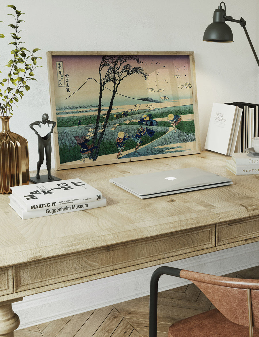
We've printed it on 230gsm fine art paper using archival pigment inks and professional giclée techniques, so it'll hold its colour for decades without fading. Available in A4, A3, A2, and A1 sizes—pick whichever works best for your space. If you'd rather have it ready to hang straight away, we offer it framed in black, white, natural oak or ornate gold finishes, all glazed and mounted.
Unframed prints arrive rolled in a protective tube, dispatched from our Newcastle workshop. Order over £60 and delivery is free across the UK. Hung alone as a statement piece or grouped with other prints, this 1900 original brings an understated sense of curiosity to any room—the kind of historical detail that rewards a lingering glance.
- FREE DELIVERY OVER £60 / $75 / €70
- PREMIUM MATTE ART PAPER
- FADE-RESISTANT INKS
- NO FUSS RETURN POLICY
We ship with Royal Mail and aim to deliver our products to the UK within 2-5 working days. International orders will take a few days longer depending on the location.
Free UK Shipping on all orders over £60